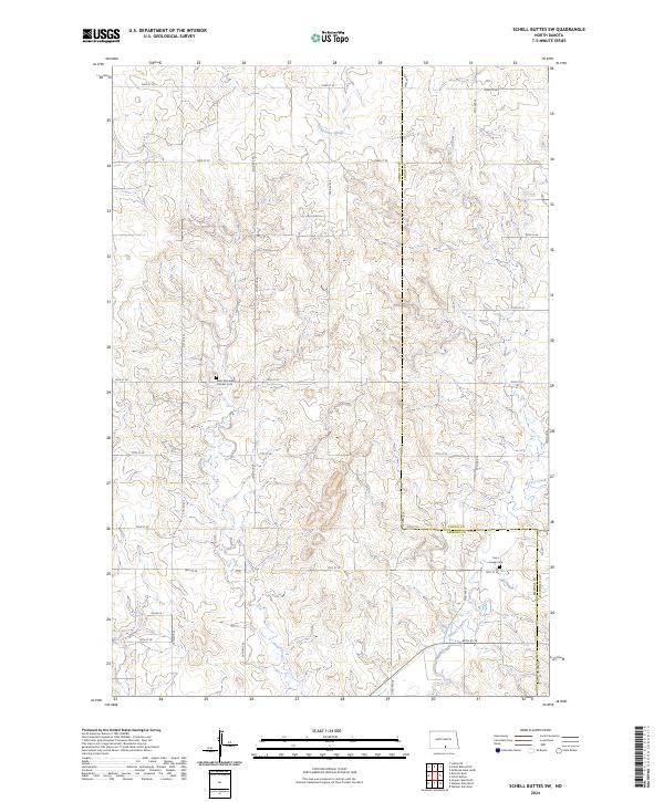
2024 Map of Schell Buttes SW
USGS Topo · Published 2024About this map
Saint Michaels Catholic Cem and Saint Joseph Cem stand as significant genealogical landmarks in this section of the Northern Plains, located at the boundary of Emmons and Logan counties. The landscape is defined by the headwaters and drainage of Long Lake Creek in the north and Beaver Creek in the southeast. This contemporary survey reveals a highly organized township-and-range grid, where local travel is facilitated by a network of numbered section roads such as 76th St SE and 24th Ave SE. The intersection of these routes and the naming of local paths like Hulm Ln indicate the long-standing agricultural divisions of the region, providing a clear view of how land ownership and rural infrastructure remain structured around established section lines.
Find a feature on this map
33 named features on this map. Tap any name to fly to it.
Don’t see what you’re looking for? This feature index may not catch every label — zoom into the map to look around manually.
Map Details
Editions of this 2024 Schell Buttes SW Map
This is the sole edition of this map. No revisions or reprints were ever made.
Other maps of this area

1953 · Jamestown
USGS Topo · 1:250,000

1954 · Bismarck
USGS Topo · 1:250,000

1956 · Jamestown
USGS Topo · 1:250,000

1958 · Bismarck
USGS Topo · 1:250,000

1975 · Linton NE
USGS Topo · 1:24,000

1979 · Schell Buttes
USGS Topo · 1:24,000

1979 · Senger Lake North
USGS Topo · 1:24,000

1979 · Schell Buttes SW
USGS Topo · 1:24,000

1979 · Schell Buttes NW
USGS Topo · 1:24,000

1979 · McKenna Lake South
USGS Topo · 1:24,000