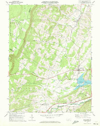
1971 Map of Schellsburg
USGS Topo · Published 1972About this map
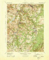
The borough of Schellsburg serves as a focal point in this 1971 survey of Bedford County, where the transition from high ridgelines to fertile valley bottoms is clearly defined. To the east, the steep ascent of Chestnut Ridge overlooks Shawnee State Park, a significant recreational landscape centered on Shawnee Lake. The park's infrastructure, including Campgrounds, a Picnic Area, and a Covered Bridge, highlights the area's development as a regional destination.
Find a feature on this map
36 named features on this map. Tap any name to fly to it.
Don’t see what you’re looking for? This feature index may not catch every label — zoom into the map to look around manually.
Map Details
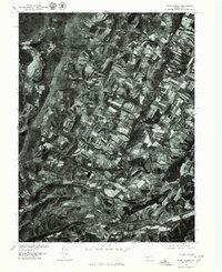
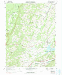
Editions of this 1971 Schellsburg Map
3 editions found
Other maps of this area
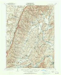
1908 · Bedford
USGS Topo · 1:62,500
1910 · Bedford
USGS Topo · 1:62,500
1914 · Windber
USGS Topo · 1:62,500
1916 · Windber
USGS Topo · 1:62,500
1923 · Berlin
USGS Topo · 1:48,000
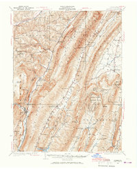
1927 · Hyndman
USGS Topo · 1:62,500
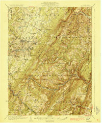
1929 · Berlin
USGS Topo · 1:62,500
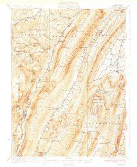
1931 · Hyndman
USGS Topo · 1:62,500
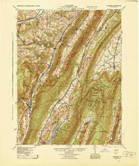
1944 · Hyndman
USGS Topo · 1:62,500
1944 · Windber
USGS Topo · 1:62,500