Loading...
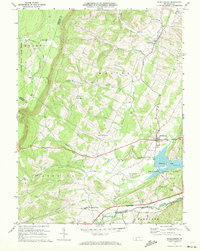
Loading map...1971 Map of Schellsburg
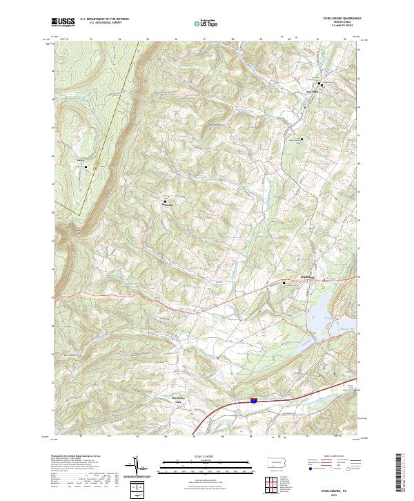
USGS Topo · Published 1983About this map
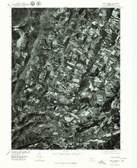
Agricultural patterns and valley settlements dominate this orthophotograph, captured in the late 1970s. The village of Schellsburg sits at a crossroads in the eastern portion of the map, while the Raystown Branch Juniata River snakes across the southern landscape near New Buena Vista. This aerial perspective reveals the dense mosaic of woodlots and active farm fields that define the region's rural character during this era.
Find a feature on this map
7 named features on this map. Tap any name to fly to it.
Don’t see what you’re looking for? This feature index may not catch every label — zoom into the map to look around manually.
Map Details
Date Portrayed1971
Date Published1983
PublisherU.S. Geological Survey
Map TypeTopographic
Scale1:24,000
Physical Dimensions22.1 x 27 inches
Editions of this 1971 Schellsburg Map
3 editions found
Historical Maps of Napier Township Through Time
3 maps found
Featured Locations
Source Details
SourceU.S. Geological Survey
CopyrightPublic Domain