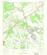
1967 Map of Schertz
USGS Topo · Published 1970About this map
Randolph Air Force Base dominates the landscape of this mid-century survey, surrounded by the rapidly expanding residential patterns of Universal City and Schertz. The map captures the meeting of three major Texas counties — Bexar, Comal, and Guadalupe — along the winding course of Cibolo Creek. This period reveals a transition from traditional rural homesteads to suburban growth, where small established communities like Converse and Bracken are joined by newly incorporated areas like Live Oak and Windcrest.
Find a feature on this map
73 named features on this map. Tap any name to fly to it.
Don’t see what you’re looking for? This feature index may not catch every label — zoom into the map to look around manually.
Map Details
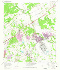
Editions of this 1967 Schertz Map
2 editions found
Other maps of this area
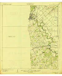
1927 · New Braunfels
USGS Topo · 1:62,500
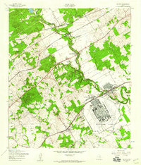
1953 · Schertz
USGS Topo · 1:24,000
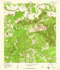
1953 · Bulverde
USGS Topo · 1:24,000
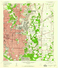
1953 · San Antonio East
USGS Topo · 1:24,000
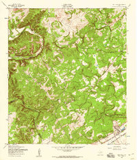
1953 · Bat Cave
USGS Topo · 1:24,000
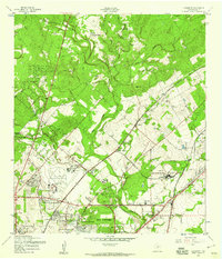
1953 · Longhorn
USGS Topo · 1:24,000
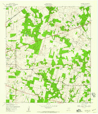
1953 · Martinez
USGS Topo · 1:24,000

1954 · San Antonio
USGS Topo · 1:250,000
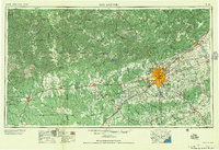
1957 · San Antonio
USGS Topo · 1:250,000
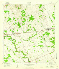
1958 · Marion
USGS Topo · 1:24,000