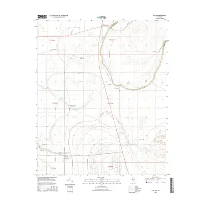
2015 Map of Schlater
USGS Topo · Published 2015About this map
Schlater and Minter City anchor this Mississippi Delta landscape, where the alluvial plain is defined by the winding course of the Tallahatchie River and its associated oxbows. The map highlights the agricultural and rural character of the region, featuring small settlements such as Highlandale and the community of McNutt. The river's influence is evident at Eutah Bend and along the banks of Marsh Bayou, which drain the flat, fertile soils. Local history is preserved in several family and community burial grounds, including McNutt Cem, Watkins Cem, Shiloh Cem, and Humphrey Cem. A dense network of county roads, such as River Rd and Walton Church Rd, connect the scattered farmsteads and small crossroads that have sustained this cotton-growing country for generations.
Find a feature on this map
58 named features on this map. Tap any name to fly to it.
Don’t see what you’re looking for? This feature index may not catch every label — zoom into the map to look around manually.
Map Details
Editions of this 2015 Schlater Map
This is the sole edition of this map. No revisions or reprints were ever made.
Other maps of this area

1931 · Schlater
USGS Topo · 1:48,000

1931 · Sumner
USGS Topo · 1:48,000

1932 · Philipp
USGS Topo · 1:48,000

1934 · Schlater
USGS Topo · 1:62,500

1935 · Sumner
USGS Topo · 1:62,500

1935 · Philipp
USGS Topo · 1:62,500

1936 · Greenwood
USGS Topo · 1:62,500

1939 · Schlater
USGS Topo · 1:62,500

1939 · Sumner
USGS Topo · 1:62,500

1939 · Philipp
USGS Topo · 1:62,500