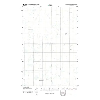
2011 Map of Schlecht-Weixel Dam
USGS Topo · Published 2011About this map
The prairie landscape of LaMoure County is defined by a dense network of seasonal wetlands and prairie potholes, which persist alongside the section-line road system that organizes the region. In the central part of the quadrangle, Schlecht-Weixel Dam regulates local water flow, while the meandering course of Maple Creek cuts through the eastern sections. Evidence of early 20th-century immigrant settlement patterns is preserved in the naming of local burial grounds, specifically the German Cemetery in the east and the Swede Township Cemetery along the southern border at 71st St SE. The map provides a look at the rural infrastructure of Bluebird Township, where primary routes like County Hwy-34 and County Rd 66 intersect a grid of gravel roads that facilitate the agricultural life of this North Dakota interior.
Find a feature on this map
19 named features on this map. Tap any name to fly to it.
Don’t see what you’re looking for? This feature index may not catch every label — zoom into the map to look around manually.
Map Details
Editions of this 2011 Schlecht-Weixel Dam Map
This is the sole edition of this map. No revisions or reprints were ever made.
Other maps of this area

1896 · Jamestown
USGS Topo · 1:125,000

1896 · Edgeley
USGS Topo · 1:125,000

1925 · Edgeley
USGS Topo · 1:125,000

1953 · Jamestown
USGS Topo · 1:250,000

1953 · Jud
USGS Topo · 1:24,000

1953 · Jud SE
USGS Topo · 1:24,000

1956 · Jamestown
USGS Topo · 1:250,000

1982 · Fredonia
USGS Topo · 1:24,000

1982 · Schlecht-Weixel Dam
USGS Topo · 1:24,000

1982 · Deisem
USGS Topo · 1:24,000