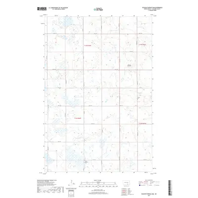
2017 Map of Schlecht-Weixel Dam
USGS Topo · Published 2017About this map
German Cem and Swede Township Cem stand as markers of the cultural heritage in this portion of LaMoure County, North Dakota. The landscape is characterized by the prairie pothole region's distinctive topography, featuring numerous small wetlands and basins across the townships of T135N and T134N. Water management is central to the area, anchored by the Schlecht-Weixel Dam and the meandering path of Maple Cr as it flows through the eastern sections. A grid of section-line roads, including Co Rd 66 and Co Rd 34, provides access to this agricultural landscape, reflecting the systematic land division of the Great Plains. The proximity of these family and community landmarks offers a detailed view of the rural settlement patterns that persisted into the twenty-first century.
Find a feature on this map
23 named features on this map. Tap any name to fly to it.
Don’t see what you’re looking for? This feature index may not catch every label — zoom into the map to look around manually.
Map Details
Editions of this 2017 Schlecht-Weixel Dam Map
This is the sole edition of this map. No revisions or reprints were ever made.
Other maps of this area

1896 · Jamestown
USGS Topo · 1:125,000

1896 · Edgeley
USGS Topo · 1:125,000

1925 · Edgeley
USGS Topo · 1:125,000

1953 · Jamestown
USGS Topo · 1:250,000

1953 · Jud
USGS Topo · 1:24,000

1953 · Jud SE
USGS Topo · 1:24,000

1956 · Jamestown
USGS Topo · 1:250,000

1982 · Fredonia
USGS Topo · 1:24,000

1982 · Schlecht-Weixel Dam
USGS Topo · 1:24,000

1982 · Deisem
USGS Topo · 1:24,000