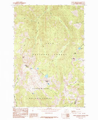
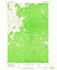
1985 Map of Schley Mountain
USGS Topo · Published 1985About this map
The Bitterroot Divide serves as the prominent physical and political spine of this 1985 survey, separating Lolo National Forest in Montana from Clearwater National Forest in Idaho. High-altitude peaks such as Schley Mountain and Admiral Peak dominate the skyline, while the drainage patterns of West Fork Fish Creek and North Fork Kelly Creek carve deep into the surrounding terrain.
Find a feature on this map
27 named features on this map. Tap any name to fly to it.
Don’t see what you’re looking for? This feature index may not catch every label — zoom into the map to look around manually.
Map Details
Editions of this 1985 Schley Mountain Map
2 editions found
Other maps of this area

1911 · Lolo
USGS Topo · 1:250,000

1913 · Lolo
USGS Topo · 1:250,000

1956 · Hamilton
USGS Topo · 1:250,000

1959 · Hamilton
USGS Topo · 1:250,000

1960 · Hamilton
USGS Topo · 1:250,000

1960 · Straight Peak
USGS Topo · 1:62,500

1964 · Hamilton
USGS Topo · 1:250,000
1964 · Williams Peak
USGS Topo · 1:24,000
1964 · White Mountain
USGS Topo · 1:24,000
1964 · Granite Pass
USGS Topo · 1:24,000