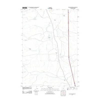
2012 Map of Schlicht Draw
USGS Topo · Published 2012About this map
S Fork Crazy Woman Cr and its numerous seasonal tributaries define this ranching landscape in Johnson County. This survey highlights the complex water management system essential for high-plains agriculture, including the Beaver Tooth Ditch and several critical storage points like Willow Glen Reservoir and the Pole Creek Irrigation Reservoir. The terrain is marked by a series of significant drainage features such as Schlicht Draw, Knebel Draw, and Houston Draw, which channel runoff across the arid landscape. Human presence is centered on the Gosney Ranch, situated between Caley Cr and the main highway corridor. Local transportation relies on a network of unpaved routes like Hammond Rd and Greub Rd, which provide access to these isolated ranching operations and the small reservoirs, including Horn Creek Reservoir to the southwest.
Find a feature on this map
23 named features on this map. Tap any name to fly to it.
Don’t see what you’re looking for? This feature index may not catch every label — zoom into the map to look around manually.
Map Details
Editions of this 2012 Schlicht Draw Map
This is the sole edition of this map. No revisions or reprints were ever made.
Other maps of this area

1900 · Fort McKinney
USGS Topo · 1:125,000

1903 · Fort McKinney
USGS Topo · 1:125,000

1955 · Sheridan
USGS Topo · 1:250,000

1955 · Arminto
USGS Topo · 1:250,000

1958 · Sheridan
USGS Topo · 1:250,000

1958 · Arminto
USGS Topo · 1:250,000

1961 · Dry Creek Reservoir
USGS Topo · 1:24,000

1961 · Antelope Draw
USGS Topo · 1:24,000

1961 · Schlict Draw
USGS Topo · 1:24,000

1961 · Hibbard Draw
USGS Topo · 1:24,000