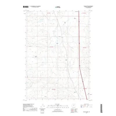
2017 Map of Schlicht Draw
USGS Topo · Published 2017About this map
Schlicht Draw and the surrounding high plains of Johnson County are defined by an intricate network of seasonal drainage channels and essential water management features. The landscape is dominated by the S Fork Crazy Woman Cr and its many tributaries, such as Tex Springs Cr and Caley Cr, which carve through the arid terrain. Human intervention in this dry environment is evident through the presence of the Pole Cr Irrigation Reservoir and the Horn Cr Reservoir, which serve as vital hubs for local water storage. The topography is further distinguished by The Mesa in the south and a series of named valleys including Knebel Draw, Houston Draw, and Seepage Draw. These features, along with local routes like Hammond Rd and Co Rd 115, reflect the ranching and agricultural reliance on every available water source in this part of Wyoming.
Find a feature on this map
27 named features on this map. Tap any name to fly to it.
Don’t see what you’re looking for? This feature index may not catch every label — zoom into the map to look around manually.
Map Details
Editions of this 2017 Schlicht Draw Map
This is the sole edition of this map. No revisions or reprints were ever made.
Other maps of this area

1900 · Fort McKinney
USGS Topo · 1:125,000

1903 · Fort McKinney
USGS Topo · 1:125,000

1955 · Sheridan
USGS Topo · 1:250,000

1955 · Arminto
USGS Topo · 1:250,000

1958 · Sheridan
USGS Topo · 1:250,000

1958 · Arminto
USGS Topo · 1:250,000

1961 · Dry Creek Reservoir
USGS Topo · 1:24,000

1961 · Antelope Draw
USGS Topo · 1:24,000

1961 · Schlict Draw
USGS Topo · 1:24,000

1961 · Hibbard Draw
USGS Topo · 1:24,000