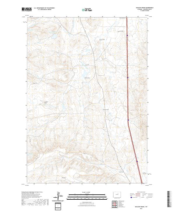
2021 Map of Schlicht Draw
USGS Topo · Published 2021About this map
The S Fork Crazy Woman Cr winds through this arid portion of Johnson County, defining a landscape of complex drainage systems and high plateaus. The topography is dominated by numerous deep erosional features, including the eponymous Schlicht Draw and Houston Draw, which cut through the sedimentary layers typical of the Powder River Basin. Significant human intervention in the water cycle is evident through a series of storage and transport systems like the Beaver Tooth Ditch and the Pole Cr Irrigation Reservoir, essential for sustaining life and livestock in this high-plains environment.
Find a feature on this map
30 named features on this map. Tap any name to fly to it.
Don’t see what you’re looking for? This feature index may not catch every label — zoom into the map to look around manually.
Map Details
Editions of this 2021 Schlicht Draw Map
This is the sole edition of this map. No revisions or reprints were ever made.
Other maps of this area

1900 · Fort McKinney
USGS Topo · 1:125,000

1903 · Fort McKinney
USGS Topo · 1:125,000

1955 · Sheridan
USGS Topo · 1:250,000

1955 · Arminto
USGS Topo · 1:250,000

1958 · Sheridan
USGS Topo · 1:250,000

1958 · Arminto
USGS Topo · 1:250,000

1961 · Dry Creek Reservoir
USGS Topo · 1:24,000

1961 · Antelope Draw
USGS Topo · 1:24,000

1961 · Schlict Draw
USGS Topo · 1:24,000

1961 · Hibbard Draw
USGS Topo · 1:24,000