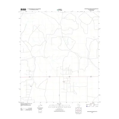
2012 Map of Schneeman Draw NE
USGS Topo · Published 2012About this map
The Midway Lane Oil Field and the Elkhorn Oil Field dominate the land use in this portion of Crockett County, reflecting the region's enduring connection to the petroleum industry. Located in West Texas, the landscape is defined by a sparse network of service roads and natural drainage patterns, including the unnamed draws that feed into larger local basins. Transportation is primarily limited to county routes such as Co Rd-204 and Co Rd-205, which navigate the arid terrain. The map's detail provides a clear view of the industrial footprint in the early 2010s, showing the specific placement of pads and wells within these named fields, offering a precise record for those researching modern energy infrastructure or regional land management.
Find a feature on this map
4 named features on this map. Tap any name to fly to it.
Don’t see what you’re looking for? This feature index may not catch every label — zoom into the map to look around manually.
Map Details
Editions of this 2012 Schneeman Draw NE Map
This is the sole edition of this map. No revisions or reprints were ever made.
Other maps of this area

1920 · Big Lake
USGS Topo · 1:62,500

1920 · Barnhart
USGS Topo · 1:62,500

1922 · Big Lake
USGS Topo · 1:62,500

1922 · Barnhart
USGS Topo · 1:62,500

1954 · Sonora
USGS Topo · 1:250,000

1954 · San Angelo
USGS Topo · 1:250,000

1958 · Sonora
USGS Topo · 1:250,000

1958 · San Angelo
USGS Topo · 1:250,000

1965 · San Angelo
USGS Topo · 1:250,000

1967 · Schneeman Draw NW
USGS Topo · 1:24,000