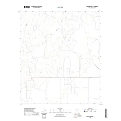
2019 Map of Schneeman Draw NE
USGS Topo · Published 2019About this map
The arid landscape of Crockett County is defined by a complex network of seasonal drainage channels, most notably the winding course of Howard Draw. This 2019 survey illustrates the intricate topography of the Edwards Plateau, where the East Fork Howard Draw and Johnson Draw cut deep into the limestone terrain. These ephemeral waterways dictate the layout of the local infrastructure, as gravel paths and modern thoroughfares like Co Rd 205 and Co Rd 204 trace the higher ground between the draws.
Find a feature on this map
6 named features on this map. Tap any name to fly to it.
Don’t see what you’re looking for? This feature index may not catch every label — zoom into the map to look around manually.
Map Details
Editions of this 2019 Schneeman Draw NE Map
This is the sole edition of this map. No revisions or reprints were ever made.
Other maps of this area

1920 · Big Lake
USGS Topo · 1:62,500

1920 · Barnhart
USGS Topo · 1:62,500

1922 · Big Lake
USGS Topo · 1:62,500

1922 · Barnhart
USGS Topo · 1:62,500

1954 · Sonora
USGS Topo · 1:250,000

1954 · San Angelo
USGS Topo · 1:250,000

1958 · Sonora
USGS Topo · 1:250,000

1958 · San Angelo
USGS Topo · 1:250,000

1965 · San Angelo
USGS Topo · 1:250,000

1967 · Schneeman Draw NW
USGS Topo · 1:24,000