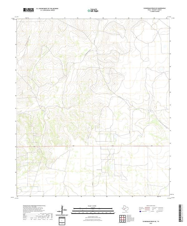
2022 Map of Schneeman Draw NE
USGS Topo · Published 2022About this map
Howard Draw and its East Fork Howard Draw define the topography of this high plains region in Crockett County. The landscape is characterized by its drainage patterns and the network of county roads, such as Co Rd 205 and Co Rd 204, which provide access to this ranching country. The presence of the federal highway 190 crossing the central portion of the quadrangle highlights the area's role as a transit corridor across West Texas. This 2022 survey documents the modern layout of rural infrastructure and natural seasonal waterways like Johnson Draw, reflecting the enduring land use patterns in this part of the state where large-scale ranching and open space predominate.
Find a feature on this map
6 named features on this map. Tap any name to fly to it.
Don’t see what you’re looking for? This feature index may not catch every label — zoom into the map to look around manually.
Map Details
Editions of this 2022 Schneeman Draw NE Map
This is the sole edition of this map. No revisions or reprints were ever made.
Other maps of this area

1920 · Big Lake
USGS Topo · 1:62,500

1920 · Barnhart
USGS Topo · 1:62,500

1922 · Big Lake
USGS Topo · 1:62,500

1922 · Barnhart
USGS Topo · 1:62,500

1954 · Sonora
USGS Topo · 1:250,000

1954 · San Angelo
USGS Topo · 1:250,000

1958 · Sonora
USGS Topo · 1:250,000

1958 · San Angelo
USGS Topo · 1:250,000

1965 · San Angelo
USGS Topo · 1:250,000

1967 · Schneeman Draw NW
USGS Topo · 1:24,000