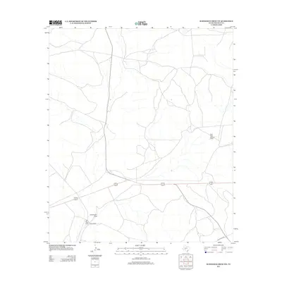
2012 Map of Schneeman Draw NW
USGS Topo · Published 2012About this map
Fogarty Ranch sits within the arid ranchlands of Crockett County, marking the human footprint in this expansive West Texas landscape. The terrain is defined by a network of seasonal drainage channels, including the significant Schneemann Draw and the East Fork Howard Draw. These ephemeral waterways, along with Bill West Draw, illustrate the natural irrigation and erosion patterns that have dictated ranching boundaries and road placements for generations. Transportation through this remote section of the Edwards Plateau relies on a system of local routes, most notably Ranch Road 1864, which provides access to the isolated homesteads and grazing lands that characterize the region's agricultural economy.
Find a feature on this map
5 named features on this map. Tap any name to fly to it.
Don’t see what you’re looking for? This feature index may not catch every label — zoom into the map to look around manually.
Map Details
Editions of this 2012 Schneeman Draw NW Map
This is the sole edition of this map. No revisions or reprints were ever made.
Other maps of this area

1920 · Big Lake
USGS Topo · 1:62,500

1922 · Big Lake
USGS Topo · 1:62,500

1928 · Rankin
USGS Topo · 1:125,000

1929 · Sheffield
USGS Topo · 1:125,000

1954 · Sonora
USGS Topo · 1:250,000

1954 · San Angelo
USGS Topo · 1:250,000

1958 · Sonora
USGS Topo · 1:250,000

1958 · San Angelo
USGS Topo · 1:250,000

1965 · San Angelo
USGS Topo · 1:250,000

1967 · Owens Creek SE
USGS Topo · 1:24,000