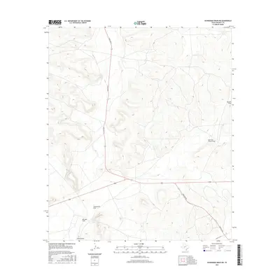
2016 Map of Schneeman Draw NW
USGS Topo · Published 2016About this map
Schneeman Draw and Bill West Draw define the topography of this corner of Crockett County, where a network of ephemeral watercourses has carved the landscape into a series of mesas and valleys. The drainage system, which includes the significant Howard Draw and its East Fork Howard Draw, dictates the layout of the region's limited transportation infrastructure. In this section of West Texas, the placement of Ranch Rd 33 and Ranch Rd 865 follows the natural contours, providing access through a terrain characterized by significant elevation changes. The mapping captures the sparse, ranch-oriented land use of the early 21st century, where large-scale landforms remain the primary landmarks for local navigation and land management.
Find a feature on this map
7 named features on this map. Tap any name to fly to it.
Don’t see what you’re looking for? This feature index may not catch every label — zoom into the map to look around manually.
Map Details
Editions of this 2016 Schneeman Draw NW Map
This is the sole edition of this map. No revisions or reprints were ever made.
Other maps of this area

1920 · Big Lake
USGS Topo · 1:62,500

1922 · Big Lake
USGS Topo · 1:62,500

1928 · Rankin
USGS Topo · 1:125,000

1929 · Sheffield
USGS Topo · 1:125,000

1954 · Sonora
USGS Topo · 1:250,000

1954 · San Angelo
USGS Topo · 1:250,000

1958 · Sonora
USGS Topo · 1:250,000

1958 · San Angelo
USGS Topo · 1:250,000

1965 · San Angelo
USGS Topo · 1:250,000

1967 · Owens Creek SE
USGS Topo · 1:24,000