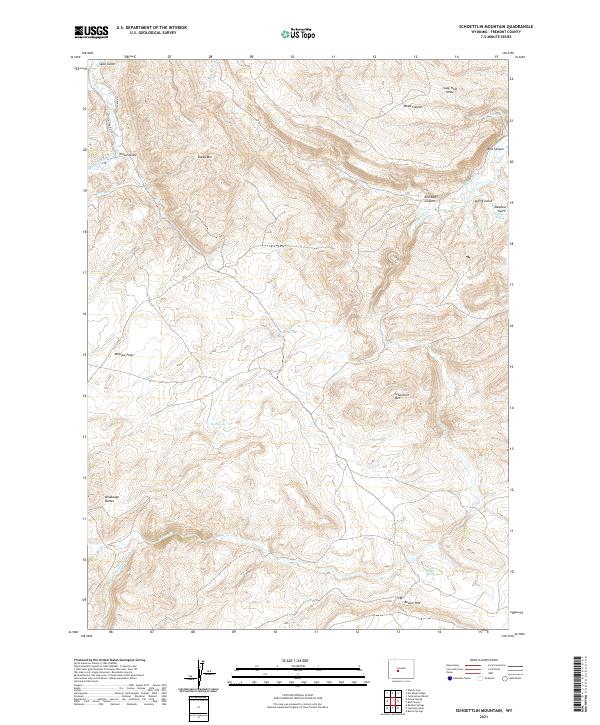
2021 Map of Schoettlin Mountain
USGS Topo · Published 2021About this map
Schoettlin Mtn and the prominent Beaver Rim anchor this high-elevation landscape in Fremont County, where drainage patterns define the local geography. The map illustrates a complex network of canyons and gulches, including Red Bluff Canyon and Wood Canyon, alongside significant hydrological features like Beaver Cr and Twin Cr. Human influence on the land is visible through early water management systems such as the Schlichting Ditch and Miller Ditch, which redirect water across McGraw Flats. For those researching local history or land use, the map documents the Woolery Ranch Spring and several named water sources like Guy Spring, Hot Spring, and Miller Spring, providing a precise look at the points of water and settlement in this arid terrain.
Find a feature on this map
36 named features on this map. Tap any name to fly to it.
Don’t see what you’re looking for? This feature index may not catch every label — zoom into the map to look around manually.
Map Details
Editions of this 2021 Schoettlin Mountain Map
This is the sole edition of this map. No revisions or reprints were ever made.
Other maps of this area

1953 · Lewiston Lakes
USGS Topo · 1:24,000

1953 · Barras Springs
USGS Topo · 1:24,000

1953 · Gravel Spring
USGS Topo · 1:24,000

1953 · Radium Springs
USGS Topo · 1:24,000

1953 · Schlichting Mountain
USGS Topo · 1:24,000

1953 · Del Monte Ridge
USGS Topo · 1:24,000

1953 · Yellowstone Ranch
USGS Topo · 1:24,000

1953 · Red Canyon
USGS Topo · 1:24,000

1953 · Weiser Pass
USGS Topo · 1:24,000

1955 · Lander
USGS Topo · 1:250,000