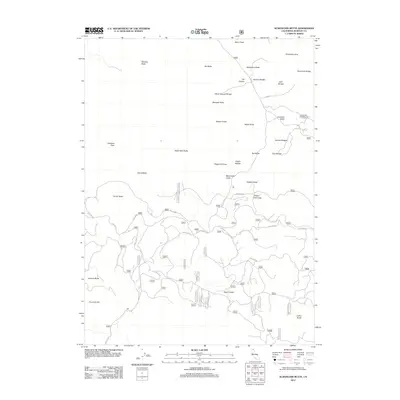
2012 Map of Schonchin Butte
USGS Topo · Published 2012About this map
Schonchin Butte and the surrounding volcanic landscape dominate this northern California survey, illustrating a complex network of geological formations and primitive roads. The area is defined by massive lava features such as the Schonchin Flow and Callahan Flow, alongside dozens of prominent peaks including Whitney Butte, Bat Butte, and Eagle Nest Butte. These natural landmarks provided early explorers and settlers with clear navigational points across the high desert terrain.
Find a feature on this map
36 named features on this map. Tap any name to fly to it.
Don’t see what you’re looking for? This feature index may not catch every label — zoom into the map to look around manually.
Map Details
Editions of this 2012 Schonchin Butte Map
This is the sole edition of this map. No revisions or reprints were ever made.
Other maps of this area

1886 · Modoc Lava Bed
USGS Topo · 1:250,000

1892 · Modoc Lava-Bed
USGS Topo · 1:250,000

1950 · Mt. Dome
USGS Topo · 1:62,500

1951 · Tulelake
USGS Topo · 1:62,500

1952 · Timber Mountain
USGS Topo · 1:62,500

1952 · Medicine Lake
USGS Topo · 1:62,500

1954 · Alturas
USGS Topo · 1:250,000

1958 · Alturas
USGS Topo · 1:250,000

1962 · Alturas
USGS Topo · 1:250,000

1965 · Alturas
USGS Topo · 1:250,000