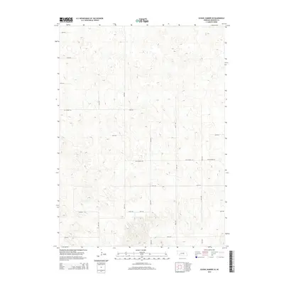
2014 Map of School Number 20
USGS Topo · Published 2014About this map
School Number 20 stands as a focal point in this rural landscape of northern Nebraska, marking a traditional center of education within Wheeler County. The map reveals a strictly regulated grid of section roads, including 831st Rd and 823rd Rd, that define the ranching and agricultural tracts of the region. A notable transportation corridor is preserved in the alignment of Old Highway 101, which traverses the terrain alongside more contemporary local connectors like 501st Ave and 504th Ave. The nomenclature of the roads, such as Connelly Rd and Cactus Ave, reflects both local family names and the character of the prairie environment, providing clear reference points for genealogical research and land ownership studies in this sparsely settled area.
Find a feature on this map
17 named features on this map. Tap any name to fly to it.
Don’t see what you’re looking for? This feature index may not catch every label — zoom into the map to look around manually.
Map Details
Editions of this 2014 School Number 20 Map
This is the sole edition of this map. No revisions or reprints were ever made.
Other maps of this area

1954 · Greeley NE
USGS Topo · 1:24,000

1954 · Spalding
USGS Topo · 1:24,000

1954 · Spalding NW
USGS Topo · 1:24,000

1954 · Bartlett SE
USGS Topo · 1:24,000

1954 · Bartlett
USGS Topo · 1:24,000

1955 · Broken Bow
USGS Topo · 1:250,000

1956 · Broken Bow
USGS Topo · 1:250,000

1960 · Spalding 2 SW
USGS Topo · 1:24,000

1960 · Spalding 2 NW
USGS Topo · 1:24,000

1960 · Spalding 2 NE
USGS Topo · 1:24,000