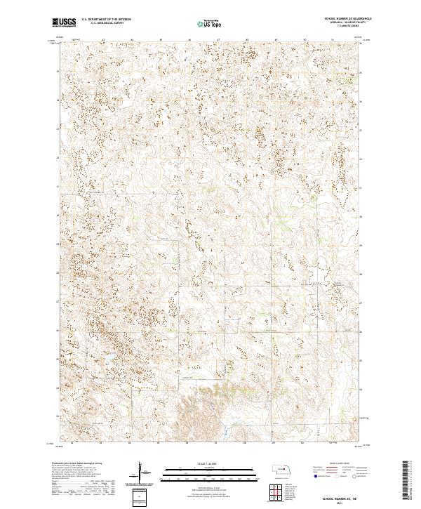
2021 Map of School Number 20
USGS Topo · Published 2021About this map
School Number 20 stands as a primary landmark in this rural Wheeler County landscape, marking a specific point of local community history amidst the section lines of the Public Land Survey System. The area is defined by a network of gravel and improved roads including Old State Hwy 101 and Pibel Lake Rd, which navigate the subtle topography of the Nebraska Sandhills region. The map reveals a land divided by township and range lines, such as t22n r10w and t21n r9w, illustrating the enduring influence of early surveying on modern property and transport patterns. Local infrastructure is further detailed by family-named or descriptive routes like Connelly Rd and Trails End Rd, providing a precise record of rural access and land use in the early twenty-first century.
Find a feature on this map
20 named features on this map. Tap any name to fly to it.
Don’t see what you’re looking for? This feature index may not catch every label — zoom into the map to look around manually.
Map Details
Editions of this 2021 School Number 20 Map
This is the sole edition of this map. No revisions or reprints were ever made.
Other maps of this area

1954 · Greeley NE
USGS Topo · 1:24,000

1954 · Spalding
USGS Topo · 1:24,000

1954 · Spalding NW
USGS Topo · 1:24,000

1954 · Bartlett SE
USGS Topo · 1:24,000

1954 · Bartlett
USGS Topo · 1:24,000

1955 · Broken Bow
USGS Topo · 1:250,000

1956 · Broken Bow
USGS Topo · 1:250,000

1960 · Spalding 2 SW
USGS Topo · 1:24,000

1960 · Spalding 2 NW
USGS Topo · 1:24,000

1960 · Spalding 2 NE
USGS Topo · 1:24,000