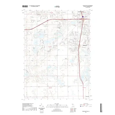
2019 Map of Schoolcraft NW
USGS Topo · Published 2019About this map
Texas Corners and the surrounding Kalamazoo County landscape are defined by a complex network of glacial kettle lakes and modern suburban expansion in this recent survey. To the north, the campus of Kalamazoo Valley Community College sits near the headwaters of W Fork Portage Cr, while residential developments push westward from the borders of Portage and Kalamazoo. The terrain is punctuated by numerous water bodies, including Eagle Lake, Crooked Lake, and Pretty Lake, which features the notable Pine Island.
Find a feature on this map
88 named features on this map. Tap any name to fly to it.
Don’t see what you’re looking for? This feature index may not catch every label — zoom into the map to look around manually.
Map Details
Editions of this 2019 Schoolcraft NW Map
This is the sole edition of this map. No revisions or reprints were ever made.
Other maps of this area

1916 · Kalamazoo
USGS Topo · 1:62,500

1918 · Kalamazoo
USGS Topo · 1:62,500

1922 · Schoolcraft
USGS Topo · 1:62,500

1943 · Kalamazoo
USGS Topo · 1:62,500

1943 · Schoolcraft
USGS Topo · 1:62,500

1944 · Marcellus
USGS Topo · 1:62,500

1946 · Marcellus
USGS Topo · 1:62,500

1946 · Gobles
USGS Topo · 1:62,500

1948 · Gobles
USGS Topo · 1:62,500

1949 · Gobles
USGS Topo · 1:62,500