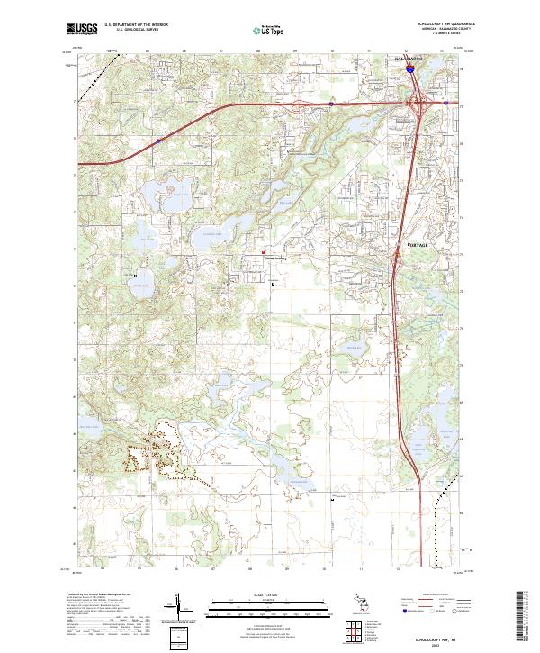
2023 Map of Schoolcraft NW
USGS Topo · Published 2023About this map
The suburban and lacustrine landscapes southwest of Kalamazoo and Portage are defined by an intricate network of kettle lakes and wetlands. The community of Texas Corners serves as a central hub for this residential and recreational area, which features prominent water bodies such as Eagle Lake, Crooked Lake, and Sugarloaf Lake. The presence of institutions like Kalamazoo Valley Community College indicates the area's development as an educational and residential corridor. Local heritage is preserved in several small burial grounds, including Hope Cem, Harrison Cem, and Cole Cem, which provide touchstones for genealogical research in Kalamazoo County. The map also illustrates the transition from the denser street grids of the northern cities to the more open, wetland-interspersed terrain surrounding Mud Lake and Paw Paw Lake to the south.
Find a feature on this map
92 named features on this map. Tap any name to fly to it.
Don’t see what you’re looking for? This feature index may not catch every label — zoom into the map to look around manually.
Map Details
Editions of this 2023 Schoolcraft NW Map
This is the sole edition of this map. No revisions or reprints were ever made.
Other maps of this area

1916 · Kalamazoo
USGS Topo · 1:62,500

1918 · Kalamazoo
USGS Topo · 1:62,500

1922 · Schoolcraft
USGS Topo · 1:62,500

1943 · Kalamazoo
USGS Topo · 1:62,500

1943 · Schoolcraft
USGS Topo · 1:62,500

1944 · Marcellus
USGS Topo · 1:62,500

1946 · Marcellus
USGS Topo · 1:62,500

1946 · Gobles
USGS Topo · 1:62,500

1948 · Gobles
USGS Topo · 1:62,500

1949 · Gobles
USGS Topo · 1:62,500