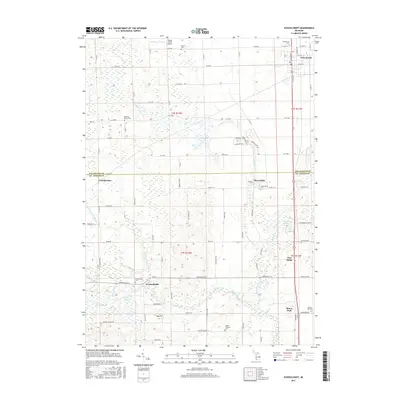
2017 Map of Schoolcraft
USGS Topo · Published 2017About this map
The Rocky River and Flowerfield Creek define the drainage of this agricultural landscape along the border of Kalamazoo and St. Joseph Counties. Small rural settlements like Flowerfield, Howardsville, and Moore Park dot the region, connected by a network of grid-pattern roads such as Marcellus Road and County Highway 101. The map reveals a high density of small cemeteries serving these dispersed communities, including Upper Flatbush Cemetery and the uniquely named Prairie Ronde Airport Cemetery.
Find a feature on this map
59 named features on this map. Tap any name to fly to it.
Don’t see what you’re looking for? This feature index may not catch every label — zoom into the map to look around manually.
Map Details
Editions of this 2017 Schoolcraft Map
This is the sole edition of this map. No revisions or reprints were ever made.
Other maps of this area

1914 · Three Rivers
USGS Topo · 1:62,500

1916 · Three Rivers
USGS Topo · 1:62,500

1922 · Schoolcraft
USGS Topo · 1:62,500

1943 · Three Rivers
USGS Topo · 1:62,500

1943 · Schoolcraft
USGS Topo · 1:62,500

1944 · Marcellus
USGS Topo · 1:62,500

1946 · Marcellus
USGS Topo · 1:62,500

1948 · Vandalia
USGS Topo · 1:62,500

1949 · Vandalia
USGS Topo · 1:62,500

1953 · Fort Wayne
USGS Topo · 1:250,000