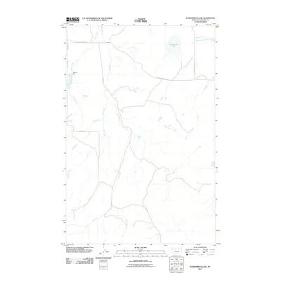
2011 Map of Schrammeck Lake
USGS Topo · Published 2011About this map
Schrammeck Lake sits at the center of this drainage system in Cascade County, where the high plains meet a series of complex coulees and creek beds. This 2011 survey documents a rural landscape defined by water management and ranch access, anchored by the Gallaher Dam on Willow Creek. The map reveals a network of waterways including Bird Creek and the West Fork Flat Creek that carve through the terrain, dictating the placement of local thoroughfares like Cascade Hound Creek Rd and Adel Rd. For those tracing local land use, the map provides precise positioning of remote ranch roads such as Whitmore Rd and Schrammeck Lake Rd as they navigate the drainages of Blaine Creek and Huff Creek.
Find a feature on this map
13 named features on this map. Tap any name to fly to it.
Don’t see what you’re looking for? This feature index may not catch every label — zoom into the map to look around manually.
Map Details
Editions of this 2011 Schrammeck Lake Map
This is the sole edition of this map. No revisions or reprints were ever made.
Other maps of this area

1886 · Great Falls
USGS Topo · 1:250,000

1949 · Cascade
USGS Topo · 1:62,500

1951 · Cascade
USGS Topo · 1:62,500

1954 · Great Falls
USGS Topo · 1:250,000

1955 · Gore Hill
USGS Topo · 1:62,500

1957 · Great Falls
USGS Topo · 1:250,000

1961 · Hound Creek Reservoir
USGS Topo · 1:24,000

1961 · Rocky Reef
USGS Topo · 1:24,000

1961 · Schrammeck Lake
USGS Topo · 1:24,000

1961 · Dana Ranch
USGS Topo · 1:24,000