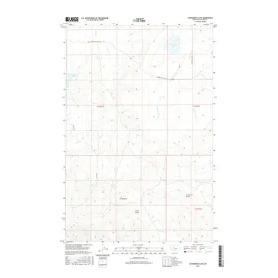
2017 Map of Schrammeck Lake
USGS Topo · Published 2017About this map
Schrammeck Lake sits in the northeast corner of this high plains landscape in Cascade County, characterizing a region defined by extensive drainage systems and topographic depressions. The area is marked by significant coulees, such as Spring Willow Coulee and Spanish Coulee, which carve through the terrain south of the lake. These features indicate a landscape shaped by seasonal runoff and erosion, common in the Montana ranchlands.
Find a feature on this map
17 named features on this map. Tap any name to fly to it.
Don’t see what you’re looking for? This feature index may not catch every label — zoom into the map to look around manually.
Map Details
Editions of this 2017 Schrammeck Lake Map
This is the sole edition of this map. No revisions or reprints were ever made.
Other maps of this area

1886 · Great Falls
USGS Topo · 1:250,000

1949 · Cascade
USGS Topo · 1:62,500

1951 · Cascade
USGS Topo · 1:62,500

1954 · Great Falls
USGS Topo · 1:250,000

1955 · Gore Hill
USGS Topo · 1:62,500

1957 · Great Falls
USGS Topo · 1:250,000

1961 · Hound Creek Reservoir
USGS Topo · 1:24,000

1961 · Rocky Reef
USGS Topo · 1:24,000

1961 · Schrammeck Lake
USGS Topo · 1:24,000

1961 · Dana Ranch
USGS Topo · 1:24,000