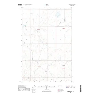
2020 Map of Schrammeck Lake
USGS Topo · Published 2020About this map
Schrammeck Lake and the surrounding drainage basins of the Missouri River watershed define this high-plains landscape in Cascade County. The terrain is marked by significant erosion patterns, most notably Spring Willow Coulee and Spanish Coulee, which cut through the benchlands. Water management is a central theme of the geography, evidenced by the Gollaher Reservoir and a network of seasonal and perennial streams including Willow Cr and Bird Cr. The rural road network is sparse, with Cascade Hound Creek Rd and Whitmore Rd providing the primary access through the townships of T17N and T16N. This map captures the modern distribution of water resources and ranch access roads in a region where the natural coulees still dictate the movement across the land.
Find a feature on this map
17 named features on this map. Tap any name to fly to it.
Don’t see what you’re looking for? This feature index may not catch every label — zoom into the map to look around manually.
Map Details
Editions of this 2020 Schrammeck Lake Map
This is the sole edition of this map. No revisions or reprints were ever made.
Other maps of this area

1886 · Great Falls
USGS Topo · 1:250,000

1949 · Cascade
USGS Topo · 1:62,500

1951 · Cascade
USGS Topo · 1:62,500

1954 · Great Falls
USGS Topo · 1:250,000

1955 · Gore Hill
USGS Topo · 1:62,500

1957 · Great Falls
USGS Topo · 1:250,000

1961 · Hound Creek Reservoir
USGS Topo · 1:24,000

1961 · Rocky Reef
USGS Topo · 1:24,000

1961 · Schrammeck Lake
USGS Topo · 1:24,000

1961 · Dana Ranch
USGS Topo · 1:24,000