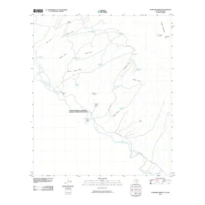
2010 Map of Schroder Arroyo
USGS Topo · Published 2010About this map
The Rio Grande serves as the international boundary between the United States and Mexico in this arid landscape. Isolated ranching outposts such as Porcher Ranch and Love Ranch are linked by the Indian Hot Spring Rd, which follows the river's northern bank. The terrain is defined by complex drainage networks, including Schroder Arroyo, Asebueches Arroyo, and Smugglers Arroyo, all feeding toward the river valley from the heights of the Quitman Mountains.
Find a feature on this map
34 named features on this map. Tap any name to fly to it.
Don’t see what you’re looking for? This feature index may not catch every label — zoom into the map to look around manually.
Map Details
Editions of this 2010 Schroder Arroyo Map
This is the sole edition of this map. No revisions or reprints were ever made.
Other maps of this area

1894 · Fort Hancock
USGS Topo · 1:125,000

1895 · Sierra Blanca
USGS Topo · 1:125,000

1897 · Eagle Mountain
USGS Topo · 1:125,000

1916 · Eagle Mountain
USGS Topo · 1:125,000

1943 · Fort Quitman
USGS Topo · 1:62,500

1954 · Van Horn
USGS Topo · 1:250,000

1958 · Van Horn
USGS Topo · 1:250,000

1959 · Marfa
USGS Topo · 1:250,000

1964 · Devil Ridge
USGS Topo · 1:24,000

1964 · Sierra Blanca SW
USGS Topo · 1:24,000