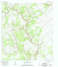
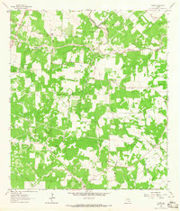
1964 Map of Schroeder
USGS Topo · Published 1985About this map
Coleto Creek and its many tributaries, including the curiously named Hog Thief Creek, define the topography of this South Texas landscape. In the early 1960s, the boundary between Goliad Co and Victoria Co bisected a region of dispersed rural settlements and family landmarks. The small community of Schroeder serves as a local hub, while the presence of multiple sites like St Lukes Ch, Mission Valley Ch, and Bullocks Ch suggests a deeply rooted social fabric.
Find a feature on this map
30 named features on this map. Tap any name to fly to it.
Don’t see what you’re looking for? This feature index may not catch every label — zoom into the map to look around manually.
Map Details
Editions of this 1964 Schroeder Map
3 editions found
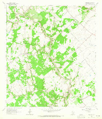
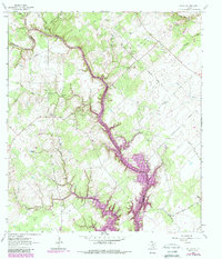
Other maps of this area

1953 · Beeville
USGS Topo · 1:250,000

1956 · Beeville
USGS Topo · 1:250,000

1960 · Beeville
USGS Topo · 1:250,000

1962 · Fannin
USGS Topo · 1:24,000

1962 · Hensley Lake
USGS Topo · 1:24,000

1962 · Raisin
USGS Topo · 1:24,000

1963 · Meyersville
USGS Topo · 1:24,000

1963 · Nursery
USGS Topo · 1:24,000
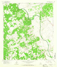
1963 · Mission Valley
USGS Topo · 1:24,000
1963 · Ander
USGS Topo · 1:24,000