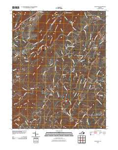
2010 Map of Schuyler
USGS Topo · Published 2010About this map
The Rockfish River carves through a landscape of ridges and hollows in central Virginia, anchored by the settlement of Schuyler. This 2010 survey details a region where river crossings and old transport corridors define the community structure, with infrastructure like the Rockfish River Dam and Harris Bridge serving as key points along the water. The surrounding terrain is marked by prominent elevations such as Appleberry Mountain and Brush Mountain, which create natural boundaries between small hamlets like Damon, Old Dominion, and Faber.
Find a feature on this map
75 named features on this map. Tap any name to fly to it.
Don’t see what you’re looking for? This feature index may not catch every label — zoom into the map to look around manually.
Map Details
Editions of this 2010 Schuyler Map
This is the sole edition of this map. No revisions or reprints were ever made.
Other maps of this area

1892 · Buckingham
USGS Topo · 1:125,000

1929 · Covesville
USGS Topo · 1:62,500

1935 · Covesville
USGS Topo · 1:62,500

1943 · Lovingston
USGS Topo · 1:62,500

1945 · Covesville
USGS Topo · 1:62,500

1946 · Lovingston
USGS Topo · 1:62,500

1947 · Roanoke
USGS Topo · 1:250,000

1959 · Roanoke
USGS Topo · 1:250,000

1961 · Shipman
USGS Topo · 1:62,500

1961 · Buckingham
USGS Topo · 1:62,500