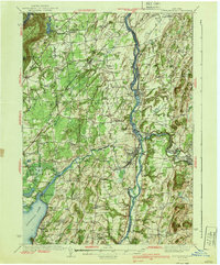
1940 Map of Schuylerville
USGS Topo · Published 1940About this map
The Hudson River and the Champlain Barge Canal serve as the central north-south corridor of this 1940 survey, documenting a landscape defined by industrial milling and Revolutionary War heritage. In the south, the Saratoga Battlefield and Saratoga National Historical Park are clearly delineated, centered around the Saratoga Battle Monument near Schuylerville. The region’s economic life is centered on the water, with Victory Mills, Thomson, and a Cement Mill near Middle Falls utilizing the river’s power.
Find a feature on this map
87 named features on this map. Tap any name to fly to it.
Don’t see what you’re looking for? This feature index may not catch every label — zoom into the map to look around manually.
Map Details
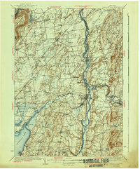
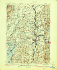
Editions of this 1940 Schuylerville Map
3 editions found
Other maps of this area

1893 · Cohoes
USGS Topo · 1:62,500

1893 · Schenectady
USGS Topo · 1:62,500

1893 · Fort Ann
USGS Topo · 1:62,500

1895 · Cohoes
USGS Topo · 1:62,500

1895 · Cambridge
USGS Topo · 1:62,500

1895 · Fort Ann
USGS Topo · 1:62,500

1895 · Schenectady
USGS Topo · 1:62,500

1895 · Glens Falls
USGS Topo · 1:62,500

1897 · Glens Falls
USGS Topo · 1:62,500

1897 · Hoosick
USGS Topo · 1:62,500