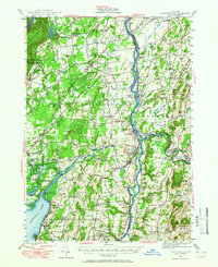
1947 Map of Schuylerville
USGS Topo · Published 1966About this map
The Hudson River corridor serves as the industrial and historical spine of this Saratoga County landscape, where the Champlain Canal and its abandoned segments trace the legacy of 19th-century transport. The village of Schuylerville stands as a focal point, marked by the Saratoga State Monument and its proximity to the Saratoga National Historical Park, commemorating the area's Revolutionary War significance. To the east, the Batten Kill powers industry in Greenwich and Middle Falls, where a Cement Mill is noted along the riverbanks.
Find a feature on this map
128 named features on this map. Tap any name to fly to it.
Don’t see what you’re looking for? This feature index may not catch every label — zoom into the map to look around manually.
Map Details
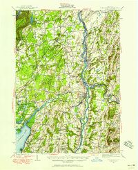
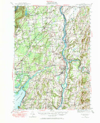
Editions of this 1947 Schuylerville Map
3 editions found
Other maps of this area

1893 · Cohoes
USGS Topo · 1:62,500

1893 · Schenectady
USGS Topo · 1:62,500

1893 · Fort Ann
USGS Topo · 1:62,500

1895 · Cohoes
USGS Topo · 1:62,500

1895 · Cambridge
USGS Topo · 1:62,500

1895 · Fort Ann
USGS Topo · 1:62,500

1895 · Schenectady
USGS Topo · 1:62,500

1895 · Glens Falls
USGS Topo · 1:62,500

1897 · Glens Falls
USGS Topo · 1:62,500

1897 · Hoosick
USGS Topo · 1:62,500