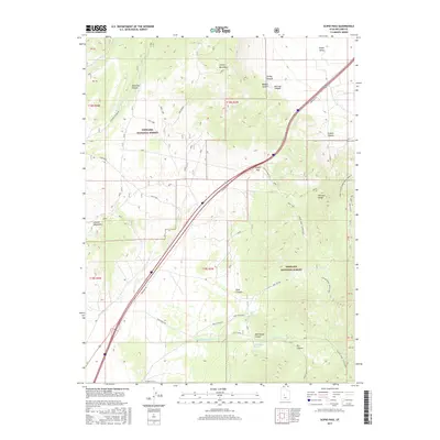
2017 Map of Scipio Pass
USGS Topo · Published 2017About this map
Scipio Pass serves as the central geographic threshold of this area, separating the Canyon Mountains to the north from the Pahvant Range to the south. This rugged corridor through Millard County is defined by its transit history, following the Frontage Rd and historic routes like the Scipio Pioneer Trl. Much of the eastern and southern terrain is protected within the Fishlake National Forest, where steep drainages like Ebbs Canyon and Graball Canyon cut through the high ridges. To the northwest, the Church Mountains overlook the drainage basin of the W Fork Eightmile Cr. The landscape is dotted with vital water sources for this arid climate, including Mud Springs and Wild Goose Spring, which feed seasonal flows like Wild Goose Cr and the man-made E Fork Ditch.
Find a feature on this map
36 named features on this map. Tap any name to fly to it.
Don’t see what you’re looking for? This feature index may not catch every label — zoom into the map to look around manually.
Map Details
Editions of this 2017 Scipio Pass Map
This is the sole edition of this map. No revisions or reprints were ever made.
Other maps of this area

1885 · Sevier Desert
USGS Topo · 1:250,000

1951 · Oak City
USGS Topo · 1:62,500

1952 · Scipio North
USGS Topo · 1:62,500

1953 · Delta
USGS Topo · 1:250,000

1958 · Delta
USGS Topo · 1:250,000

1962 · Delta
USGS Topo · 1:250,000
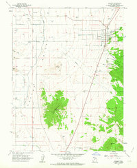
1962 · Holden
USGS Topo · 1:24,000

1962 · Holden
USGS Topo · 1:62,500
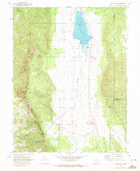
1969 · Scipio Lake
USGS Topo · 1:24,000
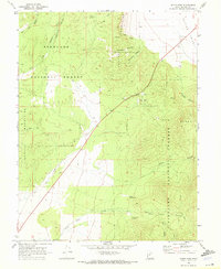
1969 · Scipio Pass
USGS Topo · 1:24,000