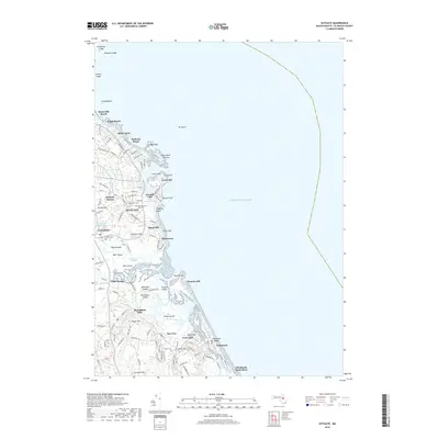
2018 Map of Scituate
USGS Topo · Published 2018About this map
Scituate and its surrounding coastal villages are defined by a complex maritime landscape where the Atlantic Ocean meets a network of marshes and tidal rivers. The four prominent bluffs—First Cliff, Second Cliff, Third Cliff, and Fourth Cliff—stand as landmarks along the shore, shielding smaller settlements like Rivermoor and Shore Acres. The presence of Scituate Station and the inland village of Greenbush highlights the historical transit corridors that linked these seaside communities to the interior of Plymouth County.
Find a feature on this map
122 named features on this map. Tap any name to fly to it.
Don’t see what you’re looking for? This feature index may not catch every label — zoom into the map to look around manually.
Map Details
Editions of this 2018 Scituate Map
This is the sole edition of this map. No revisions or reprints were ever made.
Other maps of this area

1885 · Abington
USGS Topo · 1:62,500

1885 · Duxbury
USGS Topo · 1:62,500

1888 · Duxbury
USGS Topo · 1:62,500

1888 · Abington
USGS Topo · 1:62,500

1892 · Boston Bay
USGS Topo · 1:62,500

1893 · Abington
USGS Topo · 1:62,500

1893 · Duxbury
USGS Topo · 1:62,500

1903 · Boston Bay
USGS Topo · 1:62,500

1918 · Duxbury
USGS Topo · 1:62,500

1920 · Abington
USGS Topo · 1:62,500