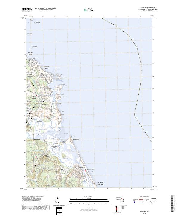
2024 Map of Scituate
USGS Topo · Published 2024About this map
Scituate and its surrounding coastal villages are defined by a landscape of dramatic cliffs and tidal estuaries. From the prominent heights of First Cliff down to Fourth Cliff, the shoreline transitions into the complex drainage systems of the North River and South River. This geography has long shaped local settlement, with residential clusters like Marshfield Hills and Shore Acres situated near the water. The presence of numerous historic burying grounds, including the Union Cem, Clapp Family Cem, and the Hatch Burial Ground, offers significant points of interest for those researching the deep roots of Plymouth County families.
Find a feature on this map
136 named features on this map. Tap any name to fly to it.
Don’t see what you’re looking for? This feature index may not catch every label — zoom into the map to look around manually.
Map Details
Editions of this 2024 Scituate Map
This is the sole edition of this map. No revisions or reprints were ever made.
Other maps of this area

1885 · Abington
USGS Topo · 1:62,500

1885 · Duxbury
USGS Topo · 1:62,500

1888 · Duxbury
USGS Topo · 1:62,500

1888 · Abington
USGS Topo · 1:62,500

1892 · Boston Bay
USGS Topo · 1:62,500

1893 · Abington
USGS Topo · 1:62,500

1893 · Duxbury
USGS Topo · 1:62,500

1903 · Boston Bay
USGS Topo · 1:62,500

1918 · Duxbury
USGS Topo · 1:62,500

1920 · Abington
USGS Topo · 1:62,500