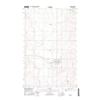
2017 Map of Scobey
USGS Topo · Published 2017About this map
Scobey serves as the focal point of this northeastern Montana landscape, situated at the confluence where the Middle Fork Poplar River and East Fork Poplar River join to form the main Poplar River. The town's grid is clearly defined, featuring a concentration of civic and community landmarks including the Scobey Cem and the Scobey Airport to the north. The surrounding terrain is marked by distinct drainage features like Shannon Coulee and Manternach Coulee, which cut through the high plains toward the river valleys.
Find a feature on this map
42 named features on this map. Tap any name to fly to it.
Don’t see what you’re looking for? This feature index may not catch every label — zoom into the map to look around manually.
Map Details
Editions of this 2017 Scobey Map
This is the sole edition of this map. No revisions or reprints were ever made.
Other maps of this area

1954 · Wolf Point
USGS Topo · 1:250,000

1958 · Wolf Point
USGS Topo · 1:250,000

1973 · Madoc
USGS Topo · 1:24,000

1973 · Peerless 4 NE
USGS Topo · 1:24,000

1973 · Line Coulee
USGS Topo · 1:24,000

1973 · Scobey
USGS Topo · 1:24,000

1973 · Scobey NW
USGS Topo · 1:24,000

1973 · Cabarett Coulee
USGS Topo · 1:24,000

1973 · Four Buttes NE
USGS Topo · 1:24,000

1973 · Si Merrell Slough
USGS Topo · 1:24,000