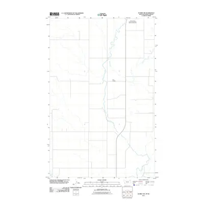
2011 Map of Scobey NW
USGS Topo · Published 2011About this map
The East Fork Poplar River meanders through this northern prairie landscape along the United States-Canada border. This region, defined by the winding paths of Outlet Creek and the M Fk Poplar R, reflects the sparse but essential infrastructure of a remote frontier crossing. The Scobey Border Station / East Poplar International Airport serves as a primary landmark, anchoring the international boundary. Near the center of the survey area, Saint Michaels Cemetery stands as a quiet focal point for local genealogy, marking the community presence in this open terrain. The grid of rural roads, including County Rd, provides the skeletal structure for the agricultural and transit activity that characterizes this borderlands area in the early twenty-first century.
Find a feature on this map
6 named features on this map. Tap any name to fly to it.
Don’t see what you’re looking for? This feature index may not catch every label — zoom into the map to look around manually.
Map Details
Editions of this 2011 Scobey NW Map
This is the sole edition of this map. No revisions or reprints were ever made.
Other maps of this area

1954 · Wolf Point
USGS Topo · 1:250,000

1958 · Wolf Point
USGS Topo · 1:250,000

1973 · Madoc
USGS Topo · 1:24,000

1973 · Scobey
USGS Topo · 1:24,000

1973 · Scobey NW
USGS Topo · 1:24,000

1973 · Four Buttes NE
USGS Topo · 1:24,000

1973 · Si Merrell Slough
USGS Topo · 1:24,000

1973 · Four Buttes
USGS Topo · 1:24,000

1983 · Scobey
USGS Topo · 1:100,000
2011 · Four Buttes
USGS Topo · 1:24,000