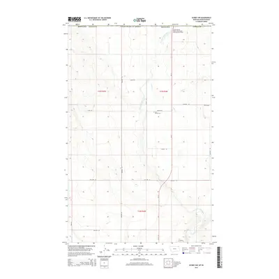
2014 Map of Scobey NW
USGS Topo · Published 2014About this map
Saint Michaels Cem rests on the prairie north of Marlenee Rd, a quiet landmark in the far northern reaches of Daniels County. This 2014 survey captures the rural landscape along the international boundary between the United States and Saskatchewan, where the East Fork Poplar River and Outlet Cr wind through the topography. The road network reveals the region's cultural and industrial history, from the heritage-named Ukranian Rd to the utilitarian Coal Mine Rd. The northern edge of the map is defined by the proximity of the Scobey Border Station Airport, highlighting the strategic importance of this borderland area. Family-named routes like Danielson Rd and Hudama Rd crisscross the township sections, serving the isolated agricultural holdings that define this remote Montana terrain.
Find a feature on this map
24 named features on this map. Tap any name to fly to it.
Don’t see what you’re looking for? This feature index may not catch every label — zoom into the map to look around manually.
Map Details
Editions of this 2014 Scobey NW Map
This is the sole edition of this map. No revisions or reprints were ever made.
Other maps of this area

1954 · Wolf Point
USGS Topo · 1:250,000

1958 · Wolf Point
USGS Topo · 1:250,000

1973 · Madoc
USGS Topo · 1:24,000

1973 · Scobey
USGS Topo · 1:24,000

1973 · Scobey NW
USGS Topo · 1:24,000

1973 · Four Buttes NE
USGS Topo · 1:24,000

1973 · Si Merrell Slough
USGS Topo · 1:24,000

1973 · Four Buttes
USGS Topo · 1:24,000

1983 · Scobey
USGS Topo · 1:100,000
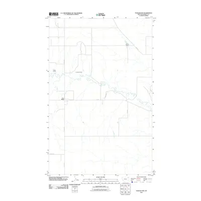
2011 · Four Buttes
USGS Topo · 1:24,000