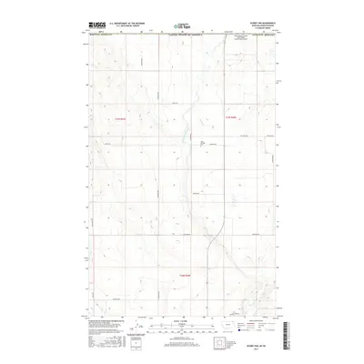
2017 Map of Scobey NW
USGS Topo · Published 2017About this map
Saint Michaels Cem sits near the heart of this borderland landscape, a quiet marker of the community's heritage in northern Daniels County. The terrain is defined by the East Fork Poplar River and its tributary Outlet Cr, which carve through the plains just south of the international boundary between the United States of America and Canada. The naming of local thoroughfares like Ukrainian Rd, Hudyma Rd, and Mastenec Rd suggests the specific ancestral roots of the families who settled this high prairie. Toward the northeast corner, the Scobey Border Station (East Poplar International) Airport marks the critical point of transit across the border. Historically, the area supported resource extraction as evidenced by Coal Mine Rd, while other local routes such as Danelson Rd and Marlenee Rd further document the agricultural and familial layout of the region in the early twenty-first century.
Find a feature on this map
22 named features on this map. Tap any name to fly to it.
Don’t see what you’re looking for? This feature index may not catch every label — zoom into the map to look around manually.
Map Details
Editions of this 2017 Scobey NW Map
This is the sole edition of this map. No revisions or reprints were ever made.
Other maps of this area

1954 · Wolf Point
USGS Topo · 1:250,000

1958 · Wolf Point
USGS Topo · 1:250,000

1973 · Madoc
USGS Topo · 1:24,000

1973 · Scobey
USGS Topo · 1:24,000

1973 · Scobey NW
USGS Topo · 1:24,000

1973 · Four Buttes NE
USGS Topo · 1:24,000

1973 · Si Merrell Slough
USGS Topo · 1:24,000

1973 · Four Buttes
USGS Topo · 1:24,000

1983 · Scobey
USGS Topo · 1:100,000
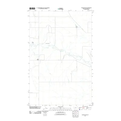
2011 · Four Buttes
USGS Topo · 1:24,000