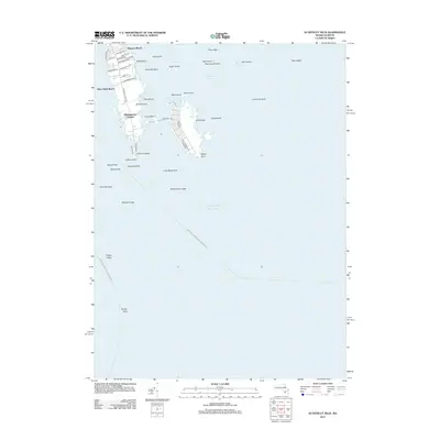
2012 Map of Sconticut Neck
USGS Topo · Published 2012About this map
Sconticut Neck and the surrounding Buzzards Bay waters are defined by a network of islands and shoals that have long dictated the maritime character of this Massachusetts coast. The residential communities of Wigwam Beach, Silver Shell Beach, and Winsegansett Heights occupy the narrow peninsula, while West Island is connected by the Causeway Rd through Round Cove.
Find a feature on this map
57 named features on this map. Tap any name to fly to it.
Don’t see what you’re looking for? This feature index may not catch every label — zoom into the map to look around manually.
Map Details
Editions of this 2012 Sconticut Neck Map
This is the sole edition of this map. No revisions or reprints were ever made.
Other maps of this area

1885 · New Bedford
USGS Topo · 1:62,500

1886 · Falmouth
USGS Topo · 1:62,500

1887 · Gay Head
USGS Topo · 1:62,500

1888 · New Bedford
USGS Topo · 1:62,500

1888 · Falmouth
USGS Topo · 1:62,500

1889 · Gay Head
USGS Topo · 1:62,500

1893 · Gay Head
USGS Topo · 1:62,500

1893 · Falmouth
USGS Topo · 1:62,500

1893 · New Bedford
USGS Topo · 1:62,500

1915 · Falmouth
USGS Topo · 1:62,500