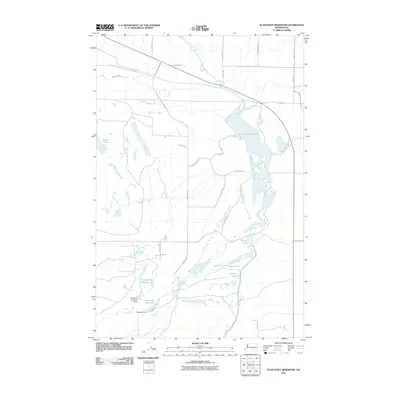
2011 Map of Scooteney Reservoir
USGS Topo · Published 2011About this map
Scooteney Reservoir and the complex of wetlands surrounding it dominate this part of Franklin County, showing the intricate water management infrastructure of the Columbia Basin. The landscape is defined by human-engineered water systems, including the Wahluke Siphon and several managed impoundments such as Snakebite Reservoir and Powerline Reservoir. These bodies of water, controlled by structures like Snakebite Reservoir Dam and Bernsen Dam, provide critical irrigation and recreational space in an otherwise arid region.
Find a feature on this map
30 named features on this map. Tap any name to fly to it.
Don’t see what you’re looking for? This feature index may not catch every label — zoom into the map to look around manually.
Map Details
Editions of this 2011 Scooteney Reservoir Map
This is the sole edition of this map. No revisions or reprints were ever made.
Other maps of this area

1916 · Connell
USGS Topo · 1:125,000

1918 · Connell
USGS Topo · 1:125,000

1924 · Othello
USGS Topo · 1:62,500

1925 · Scooteney Lake
USGS Topo · 1:62,500

1951 · Scooteney Lake
USGS Topo · 1:62,500

1953 · Walla Walla
USGS Topo · 1:250,000

1954 · Bruce
USGS Topo · 1:24,000

1954 · Othello
USGS Topo · 1:24,000

1954 · Othello
USGS Topo · 1:62,500

1958 · Walla Walla
USGS Topo · 1:250,000