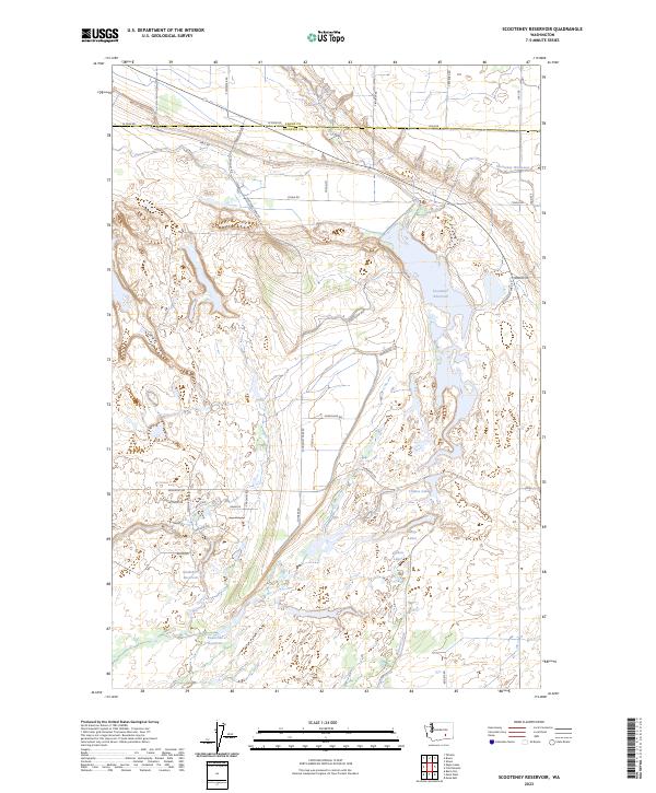
2023 Map of Scooteney Reservoir
USGS Topo · Published 2023About this map
Scooteney Reservoir and the extensive water management infrastructure of the Columbia Basin define this arid landscape along the Adams and Franklin County border. This modern survey illustrates the vital role of the Potholes Canal and the Scooteney Wasteway in transforming the high desert through irrigation. The map reveals a network of smaller impoundments and natural depressions, including Snakebite Reservoir, Powerline Reservoir, and the Camp Lakes, which support local recreation and wildlife within the agricultural grid. Local movement is dictated by a geometric road system, where routes like Scotteney Park Rd and Horseshoe Way provide access to the water's edge and the surrounding farmland. The topography is characterized by subtle elevation changes and the distinctive basalt coulee formations common to this region of eastern Washington.
Find a feature on this map
42 named features on this map. Tap any name to fly to it.
Don’t see what you’re looking for? This feature index may not catch every label — zoom into the map to look around manually.
Map Details
Editions of this 2023 Scooteney Reservoir Map
This is the sole edition of this map. No revisions or reprints were ever made.
Other maps of this area

1916 · Connell
USGS Topo · 1:125,000

1918 · Connell
USGS Topo · 1:125,000

1924 · Othello
USGS Topo · 1:62,500

1925 · Scooteney Lake
USGS Topo · 1:62,500

1951 · Scooteney Lake
USGS Topo · 1:62,500

1953 · Walla Walla
USGS Topo · 1:250,000

1954 · Bruce
USGS Topo · 1:24,000

1954 · Othello
USGS Topo · 1:24,000

1954 · Othello
USGS Topo · 1:62,500

1958 · Walla Walla
USGS Topo · 1:250,000