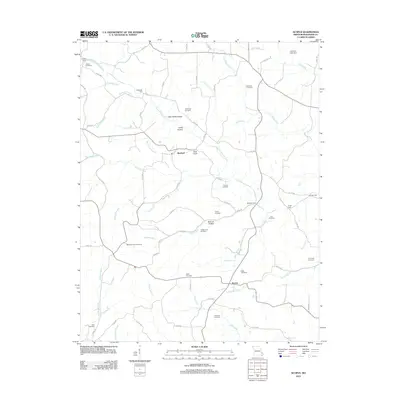
2012 Map of Scopus
USGS Topo · Published 2012About this map
Scopus and Mayfield serve as the primary focal points of this Bollinger County landscape, where the terrain is defined by a dense network of watercourses and family-named landmarks. The area is heavily intersected by branches and creeks, including Little Whitewater Creek and Mayfield Creek, which shaped the early settlement patterns and necessitated several crossing points such as Bollinger Ford and Dalton Ford.
Find a feature on this map
77 named features on this map. Tap any name to fly to it.
Don’t see what you’re looking for? This feature index may not catch every label — zoom into the map to look around manually.
Map Details
Editions of this 2012 Scopus Map
This is the sole edition of this map. No revisions or reprints were ever made.
Other maps of this area

1910 · Higdon
USGS Topo · 1:62,500

1923 · Perryville
USGS Topo · 1:62,500

1924 · Perryville
USGS Topo · 1:62,500

1933 · Marble Hill
USGS Topo · 1:62,500

1933 · Marquand
USGS Topo · 1:62,500

1937 · Marble Hill
USGS Topo · 1:62,500

1938 · Marquand
USGS Topo · 1:62,500

1949 · Paducah
USGS Topo · 1:250,000

1949 · Rolla
USGS Topo · 1:250,000

1950 · Paducah
USGS Topo · 1:250,000