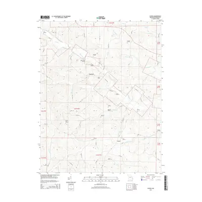
2015 Map of Scopus
USGS Topo · Published 2015About this map
Scopus and the surrounding Bollinger County countryside are defined by a dense network of creek branches and small family burial grounds. This 2015 survey reveals a landscape of high ridges and hollows, such as Otter Slide Hollow and Bull Lot Hollow, where traditional settlement patterns persist. The distribution of over a dozen named cemeteries, including Dalton Cemetery and the remote Chostner Cemetery, suggests a long history of family homesteads established near water sources like Little Whitewater Cr and Mayfield Cr.
Find a feature on this map
76 named features on this map. Tap any name to fly to it.
Don’t see what you’re looking for? This feature index may not catch every label — zoom into the map to look around manually.
Map Details
Editions of this 2015 Scopus Map
This is the sole edition of this map. No revisions or reprints were ever made.
Other maps of this area

1910 · Higdon
USGS Topo · 1:62,500

1923 · Perryville
USGS Topo · 1:62,500

1924 · Perryville
USGS Topo · 1:62,500

1933 · Marble Hill
USGS Topo · 1:62,500

1933 · Marquand
USGS Topo · 1:62,500

1937 · Marble Hill
USGS Topo · 1:62,500

1938 · Marquand
USGS Topo · 1:62,500

1949 · Paducah
USGS Topo · 1:250,000

1949 · Rolla
USGS Topo · 1:250,000

1950 · Paducah
USGS Topo · 1:250,000