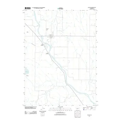
2011 Map of Scotia
USGS Topo · Published 2011About this map
Scotia sits along the western bank of the North Loup River, serving as a central hub for the surrounding agricultural landscape in Greeley County. The town is marked by local landmarks like the Scotia Post Office and the Mount Hope Cemetery just to the north. Water management is a defining characteristic of this terrain, with the Ord North Loup Canal cutting across the valley and the Davis Creek Reservoir contained by the Davis Creek Dam in the southwest. South of the main settlement, Happy Jack Peak rises above the river bottom near Scotia Junction, where local routes like Greeley Ave and Yutan Rd navigate the creek beds of Davis Creek and Dry Creek. The map documents a rural Nebraska community where irrigation infrastructure and the natural river course dictate the local geography.
Find a feature on this map
21 named features on this map. Tap any name to fly to it.
Don’t see what you’re looking for? This feature index may not catch every label — zoom into the map to look around manually.
Map Details
Editions of this 2011 Scotia Map
This is the sole edition of this map. No revisions or reprints were ever made.
Other maps of this area

1899 · Loup
USGS Topo · 1:125,000

1953 · Cotesfield
USGS Topo · 1:24,000

1953 · North Loup
USGS Topo · 1:24,000

1953 · Scotia NE
USGS Topo · 1:24,000

1953 · Scotia
USGS Topo · 1:24,000

1953 · Loup City SE
USGS Topo · 1:24,000

1953 · Elba
USGS Topo · 1:24,000

1954 · Ord SE
USGS Topo · 1:24,000

1954 · Horace
USGS Topo · 1:24,000

1954 · Greeley
USGS Topo · 1:24,000