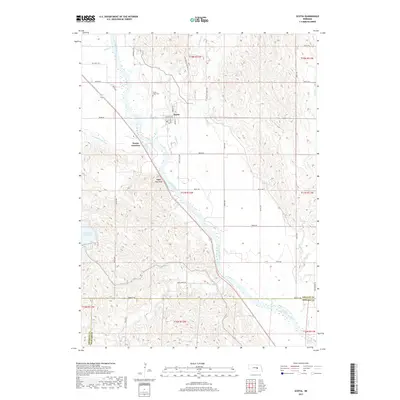
2017 Map of Scotia
USGS Topo · Published 2017About this map
Scotia sits along the North Loup River, serving as a central hub for the surrounding agricultural plains of Greeley County. The town's layout is defined by its connection to the river valley, with the Ord-North Loup Canal and nearby Scotia Junction illustrating the engineering required to manage water and transport in this part of Nebraska. To the northwest, Mount Hope Hope Cem provides a point of interest for genealogists tracing local families, while the terrain rises toward Happy Jack Peak, a notable landmark overlooking the river's winding course. The landscape is a network of section-line roads and creek drainages, including Mira Cr and Wallace Cr. To the southwest, the Davis Creek Reservoir marks a significant hydrological feature on the border with Howard County, while the Deadwood Trl in the southeast hints at the region's earlier transit history.
Find a feature on this map
45 named features on this map. Tap any name to fly to it.
Don’t see what you’re looking for? This feature index may not catch every label — zoom into the map to look around manually.
Map Details
Editions of this 2017 Scotia Map
This is the sole edition of this map. No revisions or reprints were ever made.
Other maps of this area

1899 · Loup
USGS Topo · 1:125,000

1953 · Cotesfield
USGS Topo · 1:24,000

1953 · North Loup
USGS Topo · 1:24,000

1953 · Scotia NE
USGS Topo · 1:24,000

1953 · Scotia
USGS Topo · 1:24,000

1953 · Loup City SE
USGS Topo · 1:24,000

1953 · Elba
USGS Topo · 1:24,000

1954 · Ord SE
USGS Topo · 1:24,000

1954 · Horace
USGS Topo · 1:24,000

1954 · Greeley
USGS Topo · 1:24,000