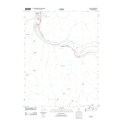
2012 Map of Scotia
USGS Topo · Published 2012About this map
The Eel River serves as the central artery for this region of Humboldt County, winding past the timber-linked settlements of Rio Dell and Scotia. The 2012 landscape is characterized by a series of high-elevation openings and ridges that reflect the area's grazing and logging history, including Moores Prairie, Barkdull Prairie, and the prominent Monument Ridge. Transportation across the river is facilitated by the Murphy Memorial Bridge and Fleisher Memorial Bridge, connecting the main corridors to smaller communities like Stafford. To the south, the terrain becomes increasingly steep and complex as it drops toward the Bear River valley, passing through areas like Happy Valley and Turner Opening. This map captures a modern view of a classic North Coast river-valley economy, where human habitation remains closely tied to the topography of the flats and ridges.
Find a feature on this map
42 named features on this map. Tap any name to fly to it.
Don’t see what you’re looking for? This feature index may not catch every label — zoom into the map to look around manually.
Map Details
Editions of this 2012 Scotia Map
This is the sole edition of this map. No revisions or reprints were ever made.
Other maps of this area

1919 · Glynn
USGS Topo · 1:62,500

1921 · Dyerville
USGS Topo · 1:62,500

1922 · Kneeland
USGS Topo · 1:62,500

1944 · Fortuna
USGS Topo · 1:62,500

1949 · Eureka
USGS Topo · 1:250,000

1949 · Weott
USGS Topo · 1:62,500

1950 · Iaqua Buttes
USGS Topo · 1:62,500

1950 · Scotia
USGS Topo · 1:62,500

1951 · Scotia
USGS Topo · 1:62,500

1951 · Weott
USGS Topo · 1:62,500