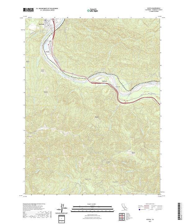
2021 Map of Scotia
USGS Topo · Published 2021About this map
The Eel River defines the corridor of activity for this portion of Humboldt County, winding past the historic company town of Scotia and the neighboring community of Rio Dell. The landscape transitions abruptly from the river valley into a complex system of ridges and high prairies, characterized by numerous family-named landmarks such as Moores Prairie, Barkdull Prairie, and Juhaze Prairie. The topography is dominated by Monument Ridge, which climbs toward the summit of Mt Pierce in the southwest.
Find a feature on this map
57 named features on this map. Tap any name to fly to it.
Don’t see what you’re looking for? This feature index may not catch every label — zoom into the map to look around manually.
Map Details
Editions of this 2021 Scotia Map
This is the sole edition of this map. No revisions or reprints were ever made.
Other maps of this area
1919 · Glynn
USGS Topo · 1:62,500
1921 · Dyerville
USGS Topo · 1:62,500
1922 · Kneeland
USGS Topo · 1:62,500
1944 · Fortuna
USGS Topo · 1:62,500
1949 · Eureka
USGS Topo · 1:250,000
1949 · Weott
USGS Topo · 1:62,500
1950 · Iaqua Buttes
USGS Topo · 1:62,500
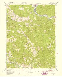
1950 · Scotia
USGS Topo · 1:62,500
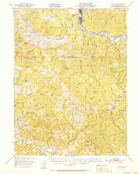
1951 · Scotia
USGS Topo · 1:62,500
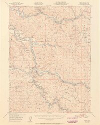
1951 · Weott
USGS Topo · 1:62,500