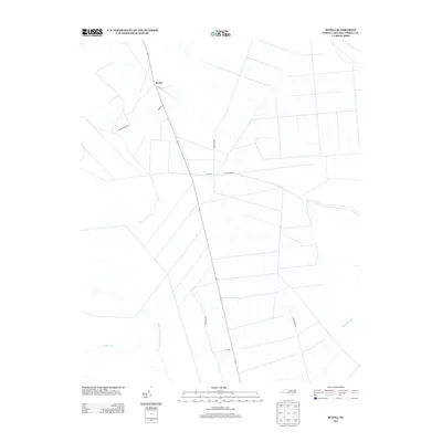
2013 Map of Scotia
USGS Topo · Published 2013About this map
The small settlement of Scotia anchors this low-lying coastal landscape in eastern North Carolina, where a rigid grid of agricultural drainage ditches and roads defines the modern terrain. The area is characterized by its transition from managed timber and farmland to the wilder hydrologic features of the Tidewater region. Significant water bodies like the Northwest Fork Alligator River and Juniper Cr provide the natural drainage for the wetlands, while man-made interventions such as the Basnight Canal demonstrate the historical effort to reclaim and utilize this saturated geography. Local thoroughfares like Frying Pan Rd and Gum Neck Rd navigate the flat interior, connecting dispersed homesteads and hunting grounds within this Tyrrell County quadrangle.
Find a feature on this map
14 named features on this map. Tap any name to fly to it.
Don’t see what you’re looking for? This feature index may not catch every label — zoom into the map to look around manually.
Map Details
Editions of this 2013 Scotia Map
This is the sole edition of this map. No revisions or reprints were ever made.
Other maps of this area

1943 · Columbia
USGS Topo · 1:125,000

1953 · Fairfield NE
USGS Topo · 1:24,000

1953 · Columbia East
USGS Topo · 1:24,000

1953 · Scotia
USGS Topo · 1:24,000

1953 · Columbia West
USGS Topo · 1:24,000

1953 · Frying Pan
USGS Topo · 1:24,000

1953 · Fairfield NW
USGS Topo · 1:24,000
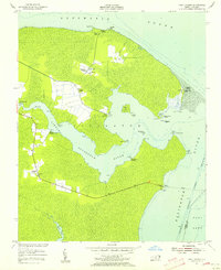
1953 · Fort Landing
USGS Topo · 1:24,000

1953 · Rocky Mount
USGS Topo · 1:250,000

1954 · Rocky Mount
USGS Topo · 1:250,000