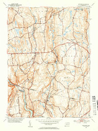
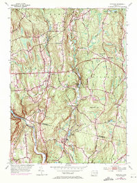
1953 Map of Scotland
USGS Topo · Published 1954About this map
Scotland sits at the heart of this mid-century survey, surrounded by a landscape of named hills and winding brooks that defined rural life in eastern Connecticut. The Little River and Merrick Brook systems drain south toward the Shetucket River, where the New York New Haven and Hartford railroad tracks parallel the water at the boundary between Windham Co and New London Co. Local centers like Westminster and Hanover are documented alongside specialized infrastructure like the Hanover Reservoir and a Gaging Station on the Little River.
Find a feature on this map
70 named features on this map. Tap any name to fly to it.
Don’t see what you’re looking for? This feature index may not catch every label — zoom into the map to look around manually.
Map Details
Editions of this 1953 Scotland Map
5 editions found
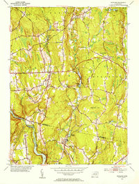
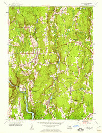
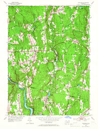
Other maps of this area

1889 · Putnam
USGS Topo · 1:62,500

1889 · Moosup
USGS Topo · 1:62,500

1892 · Woodstock
USGS Topo · 1:62,500

1892 · Norwich
USGS Topo · 1:62,500

1893 · Putnam
USGS Topo · 1:62,500

1893 · Moosup
USGS Topo · 1:62,500

1919 · Putnam
USGS Topo · 1:62,500

1920 · Moosup
USGS Topo · 1:62,500

1921 · Woodstock
USGS Topo · 1:62,500

1943 · Plainfield
USGS Topo · 1:31,680