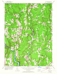
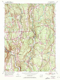
1953 Map of Scotland
USGS Topo · Published 1967About this map
The Shetucket River curves through the southwestern corner of this landscape, marking a significant boundary between Windham and New London Counties as it flows past the village of Hanover. During the mid-twentieth century, this region remained predominantly rural, characterized by scattered hilltop settlements like Scotland and Howard Valley connected by the historic Windham Turnpike. The terrain is defined by prominent rises such as Pudding Hill and Parrish Hill, with the lower valleys drained by a network of waterways including Merrick Brook and the Little River.
Find a feature on this map
45 named features on this map. Tap any name to fly to it.
Don’t see what you’re looking for? This feature index may not catch every label — zoom into the map to look around manually.
Map Details
Editions of this 1953 Scotland Map
5 editions found
Other maps of this area

1889 · Putnam
USGS Topo · 1:62,500

1889 · Moosup
USGS Topo · 1:62,500

1892 · Woodstock
USGS Topo · 1:62,500

1892 · Norwich
USGS Topo · 1:62,500

1893 · Putnam
USGS Topo · 1:62,500

1893 · Moosup
USGS Topo · 1:62,500

1919 · Putnam
USGS Topo · 1:62,500

1920 · Moosup
USGS Topo · 1:62,500

1921 · Woodstock
USGS Topo · 1:62,500

1943 · Plainfield
USGS Topo · 1:31,680